Hannah, Taylor, Robbie, and I worked on our final project for the program at Coldigioco. We were basically processing samples from a site on the Adriatic coast at Monte Conero that were collected a few years ago by a grad student from Vienna or something like that. The first step was to grind about 420 samples using mortar and pestle. This first step took us a good 12 hours of straight smashing, pummeling, and grinding.

Hannah sorts the samples taken every quarter meter that we received already ground.

All 420 samples laid out in numerical order to reflect the stratigraphic column.

Using the mortars and pestles.

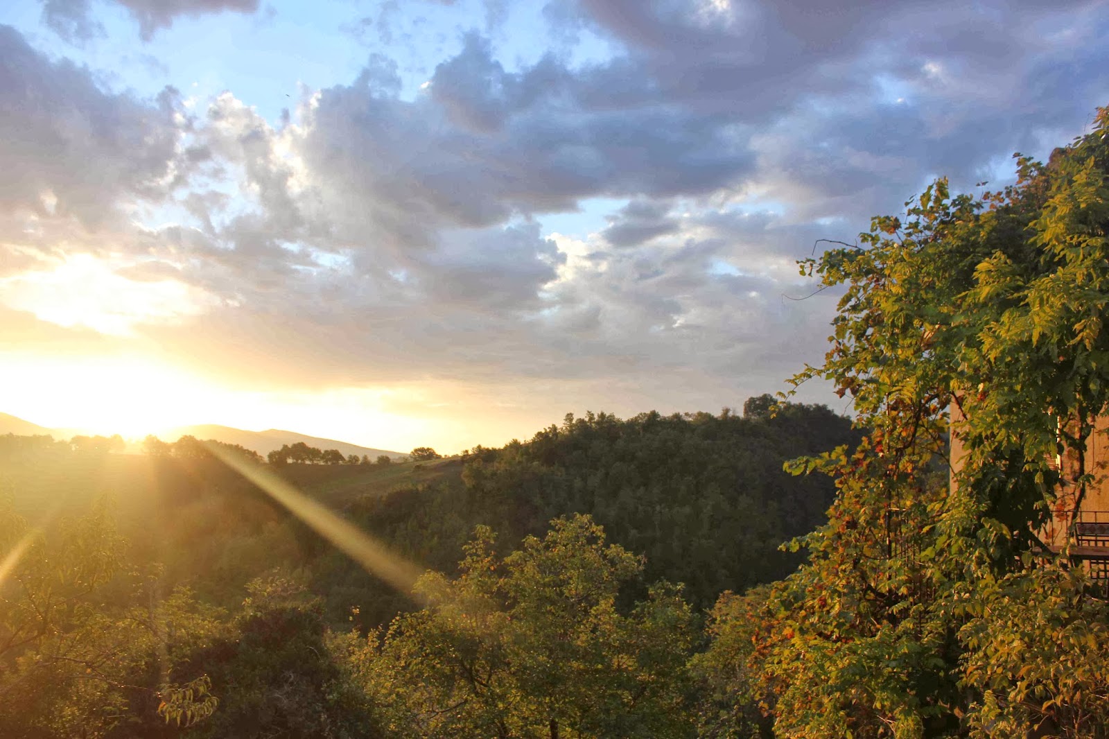
Snapped this picture after waking up to the most amazing golden light one morning.

The next step was to measure the magnetic susceptibility of each ground sample using a magnetometer. The resulting data was recorded in an excel sheet and plotted over the stratigraphic scale. Thus a time series of magnetic susceptibility is created showing its variability with time.

Robbie found some glasses.

Hannah and Taylor prepare samples for calcimetry, which measures the calcium carbonate content of each sample. These results were also superimposed over the stratigraphic column to create a time series.

Catie, who spent much of her final project digging in the mud, tried to sabotage our productivity with an attack.

We went to the Adriatic to visit the site itself and to collect about 40 more samples to fill in some gaps in the data. Many geologists are interested in this sight because it contains the Messinian-Tortonian boundary as well as record of an asteroid resonance and the Messinian Salinity Crisis. A celestial body known only as Veritas collided with the asteroid belt about 8.3 million years ago and set off a chain reaction of collisions and explosions. A rain of extraterrestrial material entered Earth's atmosphere and some of it was preserved in sedimentary rocks forming in the oceans and seas of the Earth's surface. The Messinian Salinity Crisis was a time when the straight of Gibralter closed and the Mediterranean Sea was cut off from mixing its waters with those of the rest of the world and the entire sea essentially became an enormous salt lake.

Loading into Atlantis, an apt name for a six foot dinghy we expected to use to cross a bay of the Adriatic to get to the site.


The ever stalwart Sandro.

An old fisherman's house is now abandoned on the cliffs next to the outcrop.

Looking south toward Monte Conero.
Sunset back at Coldigioco on the day before final presentations.

Hey look I found a wild Kari! Kari showed up at the train station in Castelplanio last night and she's here just in time for our final project presentations. What fun!

The final poster is really something. It's pretty complicated to explain but the ultimate goal of the project was to compare variations in the data we measured in the samples to known variations in insolation (the average amount of sunlight this part of the world received at any given time in the past). Using a program called Matlab we were able to use statistical analysis to find cyclic fluctuations in the data and then match them up with Laskar's calculated model of paleo-fluctuations in insolation in order to put a date on the rocks in the section. Pretty exciting stuff!
No comments:
Post a Comment